Seminar on Geospatial DemographyCape Town, South Africa, 29 October 2017
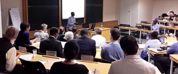
The seminar on Geospatial Demography: Combining Satellite, Survey, Census and Cellphone Data to Provide Small area estimates was held on 29 October 2017 at the University of Cape Town Graduate School of Business, and run by Professor Andy Tatem of the University of Southampton and director of WorldPop and Flowminder. An increasing need has been seen for more timely and disaggregated demographic data to facilitate better use of limited resources and to monitor progress towards the Sustainable Development Goals. ‘Traditional’ demographic data from censuses and surveys suffer from limitations in their timeliness and spatial detail. The seminar focused on the use of new sources of data, in particular from satellite imagery, in complimenting these traditional sources to provide demographic data at finer spatial and temporal scales for low and middle income countries. Robust statistical methods for data integration were introduced and approaches for building these into national statistical office capacity discussed.
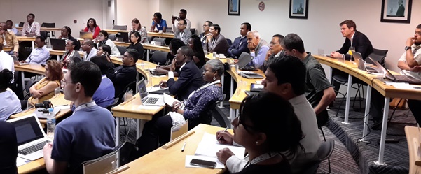
The meeting brought together around 60 participants from 20 different countries, principally in Africa and South Asia, half of whom worked for government statistics offices and half in academia.
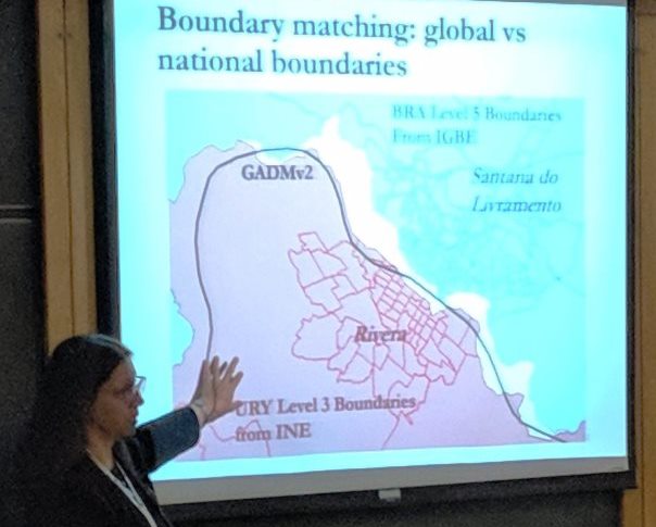
The event was kicked off by Benoit Kalasa, director of the technical division of UNFPA, and Professor Tatem, who presented on the value of thinking and measuring subnationally and the types of new data and approaches available that are driving new insights. Following this, Thomas Kemper from the EU Joint Research Center and Julian Zeidler from the German Space Agency (DLR) showed how advances in satellite imagery, computing power and methods are enabling more detailed and rapid mapping of human settlements than ever before. Thomas Kemper, Andy Tatem and Susana Adamo (from Columbia University), then showed how this mapping of settlements can be integrated with other datasets from census and surveys to map population numbers and distributions, including the estimation of populations in the absence of national census data through integrating small area surveys with satellite mapping of buildings in statistical models. Methods for mapping population characteristics were then introduced by Richmond Tiemoko from UNFPA and Andy Tatem, before Linus Bengtsson, Flowminder Director, highlighted the value of mobile network data in measuring population dynamics.
All presentations lead to some enthusiastic discussions and question sessions, and these discussions were continued with a final hands-on data session, where representatives of WorldPop, Flowminder, Columbia University, DLR and EU-JRC all presented their datasets and tools to small groups of participants and fielded questions.
See also:
Funding: Financial support was provided by the William and Flora Hewlett Foundation to support demographers' participation in the Data Revolution. |
|